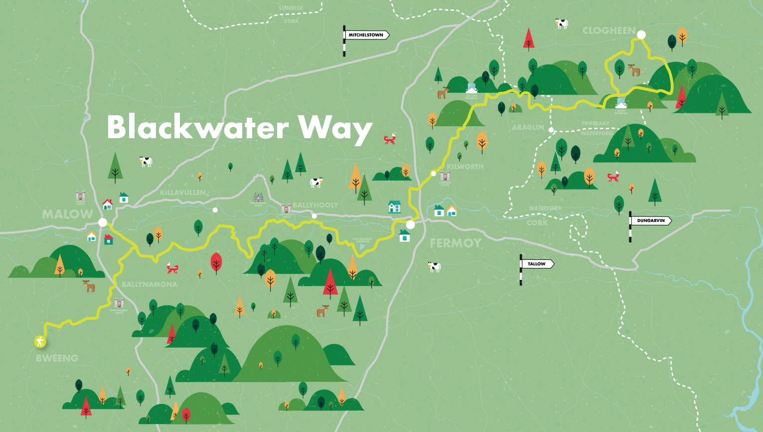
The Blackwater Way
- Forestry Tracks
- Tarmac Roads
- Bog Roads
- Moorland
- Field Paths
- Clogheen
-
Difficulty:
moderate
-
Distance:
94k
-
Time:
6 days
-
Climb:
3690m
The Blackwater Way (the combined Duhallow and Avondhu Ways) is a 168 kilometre linear long distance walking route that stretches from the borders of west County Waterford across north County Cork and into the County of Kerry, following the valley of the River Blackwater. It is part of the European E8 route. The Way is a richly varied one in terms of topography and features, and includes contouring sections along mountain flanks with great views, passing by ancient monuments such as standing stones, stone circles and cairns, and more modern monuments such as cillins (infant burial grounds) and holy wells.
Along the way the towns of Fermoy and Millstreet and the villages of Kilworth, Ballynamona and Bweeng are encountered. Although the off-road sections are never far from a public road, on higher ground the route frequently passes through quite isolated mountain areas of forestry. Although about 28% of the route is on roads that carry fast traffic, the balance consists mainly of quiet tarmac roads, forestry tracks, bog roads and moorland and field paths. Some sections can be wet and muddy in wet weather. Until the last 15 kilometres during which there is a climb of 560m under Caherbarnagh and the Paps, there are no significant ascents, although over the whole route there is an aggregate ascent of 3,700 metres.


