
Steamhill Loop
- Cycling
- Mountain Bike
- Ballyhoura Trailriders Car Park, Ardpatrick, Kilmallock, Co. Limerick
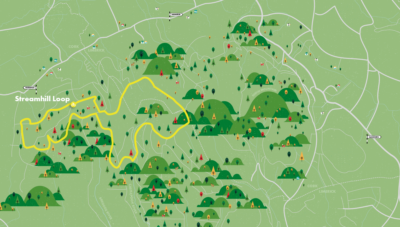
The Streamhill Loop provides an initial detour from the Garrane Loop giving a longer ride before rejoining to climb higher into the mountains. It detours again from the Garrane Loop higher up and starts some of the most demanding of the trails here with fast descents and longer climbs.
Trail Description:
This is a big ride in a remote area with some long steep climbs and technical singletrack descents with numerous features such as tight turns, small rock steps, steep sections and exposed roots and includes some of the most technical riding in the Ballyhouras. Trail surfaces vary considerably and can include loose gravel, rocks, mud and water with encroaching vegetation, trees and boulders. The highest point of this Loop is at 400m and can be exposed to bad weather, particularly high winds so be properly prepared.
From Waypoint 5 follow Blue waymarkers to where you rejoin the Garrane Loop, which you follow to Waypoint 6 where you once again pick up Blue waymarkers. Follow these then all the way to where you rejoin the Mountrussell Loop for the return leg to the car park (follow Brown then Green waymarkers). Along the way you pass Waypoint 7 where you can link into The Castlepook Loop and make this in to an even longer and much more demanding ride (see Castlepook Loop). This Loop alone is a long and demanding ride.

Munster Vales wishes to acknowledge funding received under ORIS for development of this campaign.